7th May 2012
After our day on Ben Vorlich, the girls had booked a spa morning, so I was free for a few hours. Where to go? The Ochils were nearby, and new ground for me, so I set off along the road from Stirling to Tillicoutry.
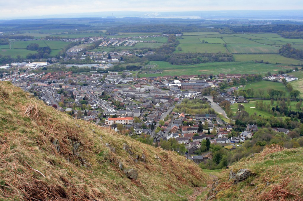
The starting place was at the foot of the Mill Glen, where a well-trodden footpath struck up the steep southern slope of the Ochils, quickly rising above the town, and affording great views. I followed a series of zigzags, branching to the right high above the deep ravine of the Mill Glen.
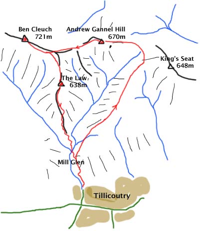
The original plan was to go up on to King’s Seat and then perhpas down into Dollar, but the top of King’s Seat was firmly in the clouds, and Ben Cleuch to the west looked more enticing.
However, the decision could be put off for a while as I followed the path NE up a broad moorland ridge to the east side of the valley of the Gannel Burn. Eventually, I reached a fence at around 530m, and the decision was confirmed – turn left away from King’s Seat and drop down slightly to the watershed (570m) at Maddy Moss.
After a brief (boggy) respite, the path continued up a grassy slope on to Andrew Gannel (who was he?) hill (670m), which has a surprisingly rocky top. This afforded welcome shelter from the cold wind while I had some lunch.
Suitably sustained, the route continued down a broad slope, then up another towards Ben Cleuch, the highest pint in the Ochils at 721m. To the right, a group of stately wind turbines were silently producing carbon-free electricity – much more aesthetically pleasing that finding a coal-fired power station, open cast mine or nuclear waste storage site up in the hills!
Once on Ben Cleuch‘s main ridge, I joined the broad heavily-eroded path towards the summit, the straight line only disrupted by some peaty hags best avoided.
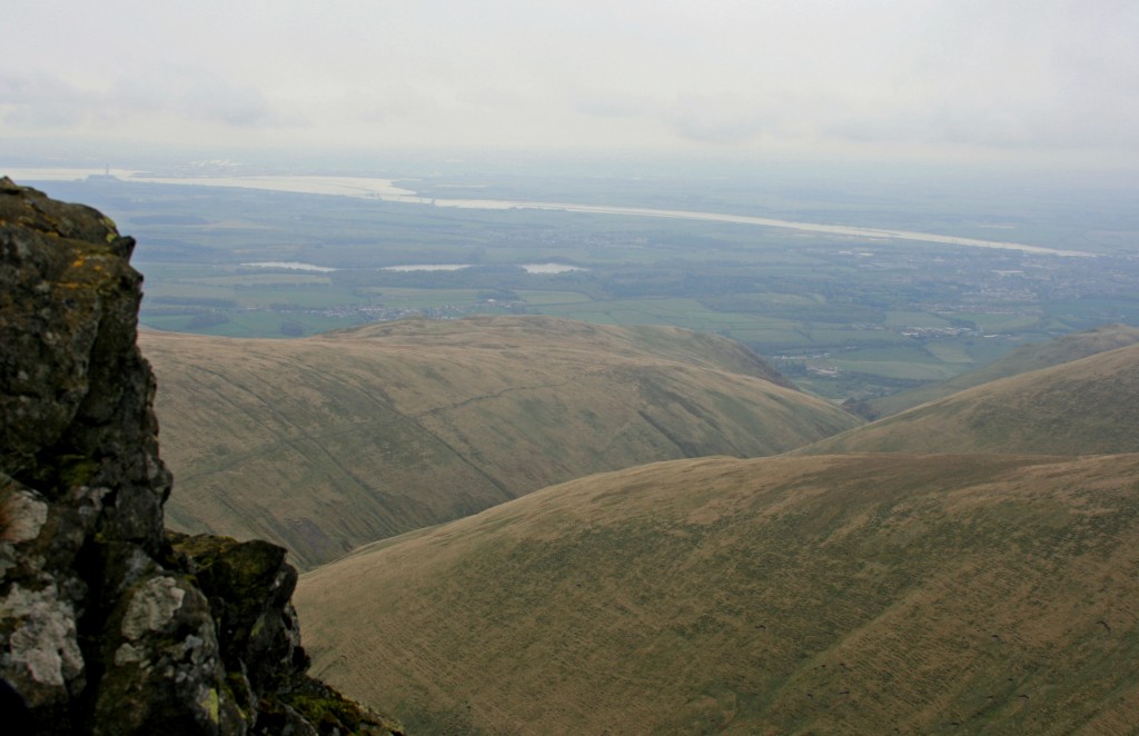
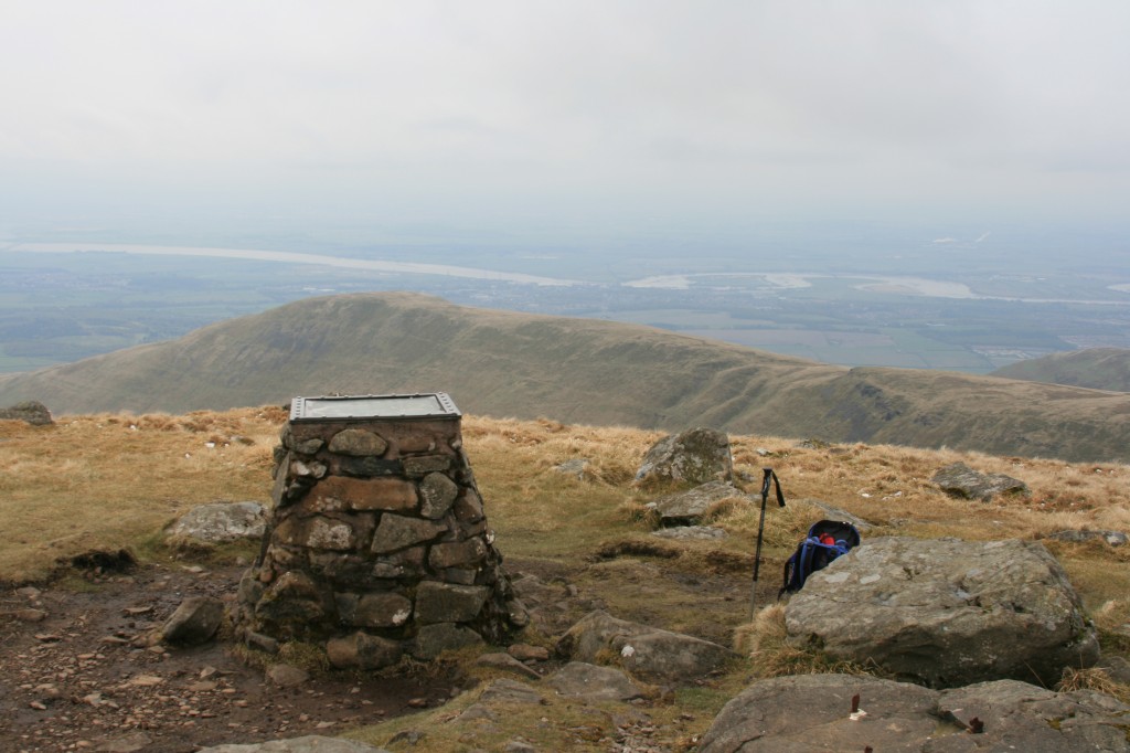
The summit proved a desolate place, windswept and eroded. Still, the views were good – although it wasn’t a place to linger in the wind. SO, a quicj photo, then back down the way I had come for about 1km, then braching right (and south) on to a narrow nek leading out to The Law (638m), a pointed cone oveerlooking the Mill Glen far below. This proved to be another of these strange tops just on the wrong side of a tricky fence! So, over and back, before continuing down the steep descending ridge.
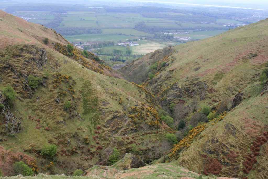
Another brief resting place with a view, half way down, gave the knees some respite! Then on downward – dropping 500m in 2km! The final section down to the confluence of the Daiglen and Gannel Burns required some care on steep loose gravelly path. What a superb place. The burns meet and continue through a deep ravine; paths on both sides, but temporary closiures for necessary maintenance. So, having crossed to the west bank on a splendid bridge, I crossed back, and climbed up the east side to meet my outward path.
Enjoyed a chat with another couple ofwalkers as we descended back down to Tillicoutry, just as the rain began to fall. Perfect timing!
11km walk + 700m climb

